History
Mirosławice at the time when these areas belonged to Germany was called Rosenborn.
The airport itself was established in the late 1930s (west of 1938) west of the village for the Luftwaffe air force base. In January 1940, the B20 pilot school for multi-engine aircraft remained here. There were also other pilot schools here named A6, C13 and C20. In the second half of 1944, the airport was used for training units, which were replacement troops.
According to our information, the airport was connected to the Krupp factory in Mārkstadt, operating at the Magnesitgrube-Zobten mine, by a branch from the special railway line no. 285 Schweidnitz-Zobten-Breslau with the switch in Rogów Sobocki (Rogau).
This was not the only rail and logistics infrastructure. Deep inside the airport there was a railway ramp and two bunkers partly dug into the ground and buried with earth, into which entire railway wagons were introduced (now all blown up and dismantled). There were also many tracks at the airport – sidings with switches (closed down). Warehouses next to the ramp (demolished).
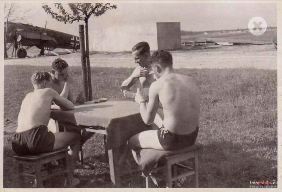
Rosenborn (Mirosławice) 1942. In the background you can see the airport building.
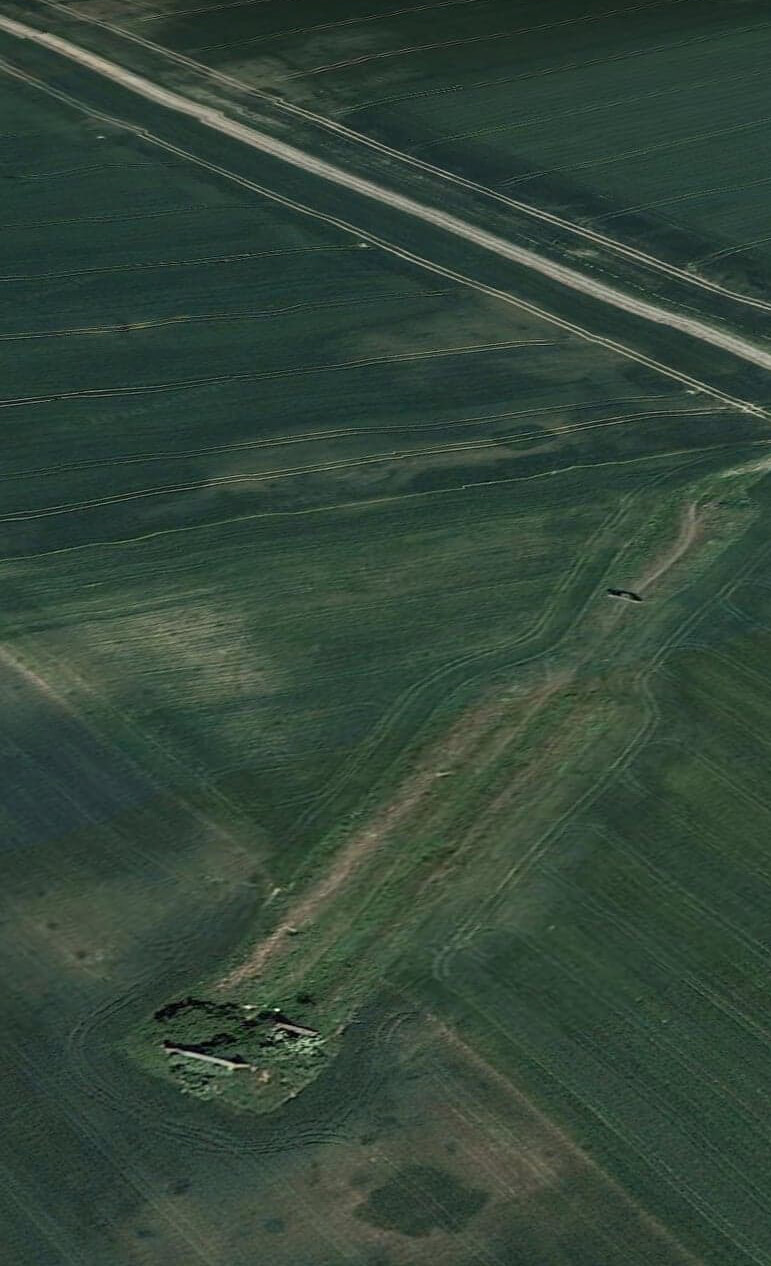
Shooting range for pilots

171/5000 Map fragment on a scale of 1: 50,000. The map shows the route of the railway to the airport. Developed in 1953 using aerial photographs and cartographic materials.
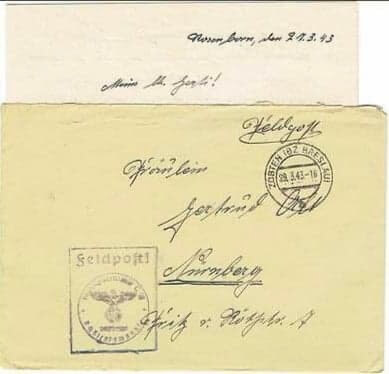
Letters with field mail stamps
Many thanks for sharing this information and photos with Mr. Maciek Mazur, who is passionate about the military history of Ślęza, Mirosławice Airport and Sobótka, where he lives.
Below is information from German sources:
Standort Rosenborn
Fliegerhorst Rosenborn
Der Ort Rosenborn hieß bis 1937 Mörschelwitz-Rosenthal und lag im Landkreis Breslau. Heute liegt der Ort in Polen, 25 km südwestlich von Breslau. Unmittelbar westlich des Dorfes entstand ende der 30er Jahre ein Fliegerhorst der Luftwaffe. Im Januar 1940 wurde hier die Flugzeugführerschule B 20 für mehrmotorige Flugzeuge neu aufgestellt. Der Platz wurde bis in die zweite Jahreshälfte des Jahres 1944 von Schuleinheiten genutzt. Nach Kriegsende wurde der Platz demontiert und das Gelände landwirtschaftlich genutzt.
Fronttruppenteile
Stab/Schlachtgeschwader 4
II./Schlachtgeschwader 4
III./Schlachtgeschwader 4
Ersatztruppenteile
Flugzeugführerschule C 13
Flugzeugführerschule C 20
Flugzeugführerschule B 20
Flugzeugführerschule A 6
Stab und 11. / Ergänzungs-Jagdgeschwader 1
Kommandobehörden / Dienststellen
Flugplatz-Kommando A 50/IV
Einrichtungen
Literatur und Quellen:
Jürgen Zapf: Flugplätze der Luftwaffe 1934 – 1945 – und was davon übrig blieb, VDM-Verlag, 1. Auflage 2010
Georg Tessin: Verbände und Truppen der deutschen Wehrmacht und Waffen-SS im Zweiten Weltkrieg 1939 – 1945, Band 16, Teil 3. Biblio-Verlag Osnabrück 1996
Mattiello Ginfranco: Fliegerhorstkommandanturen und Flugplätze der deutschen Luftwaffe 1935-1945, Biblio-Verlag Osnabrück
Other data regarding the stationing of Schlachtgeschwader 4 in Miroslowice in 1945:
Einsatz an der Ostfront bei der Luftflotte 6. Am 5. Februar 1945 lag der Stab mit I. und II. Gruppe in Rosenborn, die III. Gruppe lag in Weisseldorf.